

When traveling by car, navigation tools have become trusted companions. But when things go wrong, they can waste your time, lead you on detours, or even put your safety at risk. New South Wales police in Australia reported on August 9 that they received a call about a family who lost contact while on a road trip.
The missing were Darian Aspinall, 27, her two kids Winter Bellamy, 2, and Koda Bellamy, 4, plus their grandmother Leah Gooding, 50. The call came from Darian’s fiancé, Linny Bellamy, who was driving another car carrying their belongings and was following behind by a few hours.
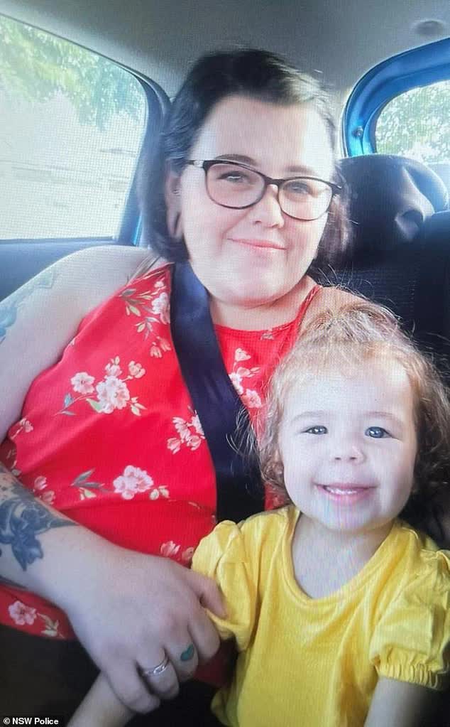
The four had left Queensland the day before but never reached Packsaddle in New South Wales, their planned destination. Fearing they had crashed or faced other dangers, police launched a wide search across the state to find them.
Many organizations and volunteers joined the search. Eventually, a rescue helicopter spotted the family’s Hyundai Tucson about 50 km southeast of the town of Tibooburra. They were safely rescued and taken to a nearby hospital for health checks.
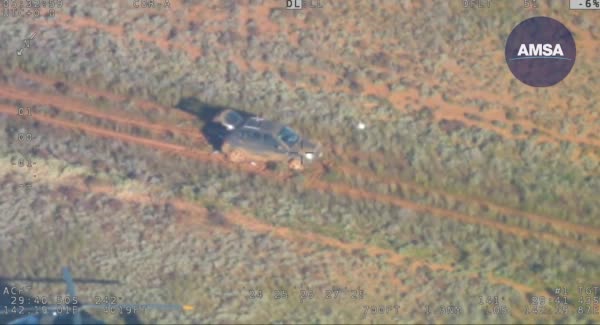
It turned out the accident happened because Google Maps’ navigation led them off the main road onto a dirt track outside the paved highway, where they got stuck.
Darian later told the media, “Honestly, given the situation, I thought we might die out there.”
Reports say the family couldn’t call for help because the area had no phone or internet coverage. The four tried walking for hours to find help but failed. They only had one liter of water between them, far too little for four people, and without help, they would have quickly dehydrated. Luckily, they found a small waterhole that gave them enough to survive until they were found.
Sources: Dailymail, iFeng

